


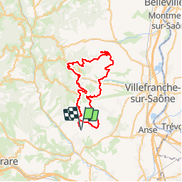

17.8 km | 27 km-effort


User


FREE GPS app for hiking
 SityTrail
IGN / Geographical institutes
SityTrail World
The world is yours!
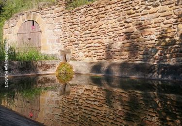
Trail Electric bike of 52 km to be discovered at Auvergne-Rhône-Alpes, Rhône, Val d'Oingt. This trail is proposed by cailloux54.
escursion tranquille avec pause resto â midi et retour sur Oingt
Walking

Walking

Walking
On foot

Nordic walking
Walking
Walking
Walking
Walking
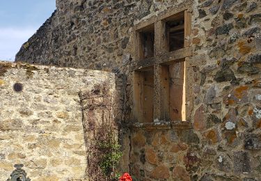
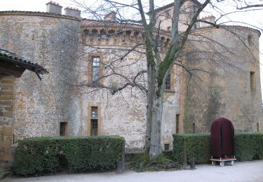
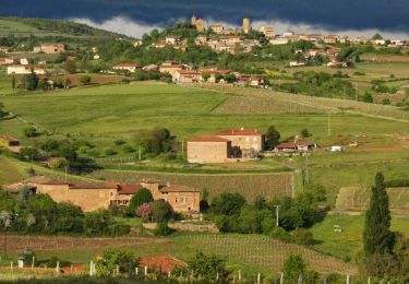
Mon épouse et moi-même avons adoré ce circuit. les routes sont très peu fréquentées et les points de vue magnifiques .